Network surveillance
Visit Of Turnkey Networks
HTA and HTB NETWORK VISIT – The classic visit
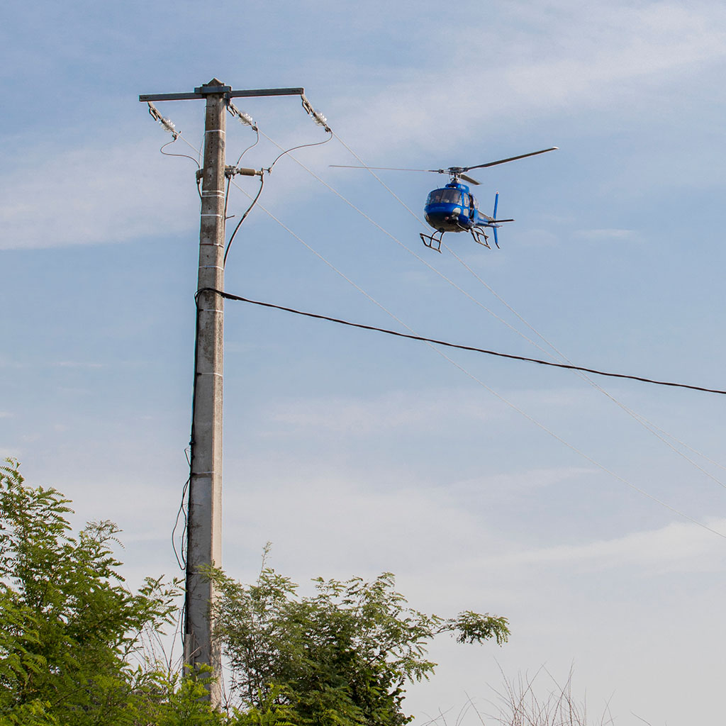
A team composed of a pilot, a navigator and, if necessary, a technical observer goes through the networks and notes possible anomalies. The type of faults that can be detected on HV or EHV lines are, for example:
Untwisting Broken insulators Foreign bodies such as nests Worn eyelets Vegetation near the conductors… Wear of an eyelet Vegetation near a network
The report of the visit includes an Excel file containing the list of anomalies, the GPS coordinates of the defect as well as its photo, and a file allowing to geo-referencing on a satellite image.
LIDAR – VEGETATION ANALYSIS & TOPOGRAPHY
LIDAR (Light Detection And Ranging) is a technological means to inventory the vegetation located near the electrical network. The LIDAR system is on board the helicopter. It is complementary to the HTA and HTB line inspection.
The LIDAR can be exclusive or combined with a visual or digital detection of anomalies.
LiDAR
LIDAR can also be used to represent the area around a line in 3D, or to display the distance to a building or body of water.
This technique can be used to perform a terrain analysis. You can add several options to the sequence of visits made by lidar.
Several options can be added to the LIDAR tour order:
These are geo-referenced vertical images. They can be delivered for the entire project once they have been prepared. They can be delivered in shape file (.shp) format, with a guaranteed positioning accuracy of 50 cm. Delivery of non-compliant distances (collisions) with objects other than vegetation. These distances are automatically and systematically detected by the algorithms in charge of analysis, according to the distances defined in the customer's specifications. Delivery of all images from the visited network. The system enables high-speed image acquisition (4-5 images/sec) on several optical sensors in HD definition. Within the scope of the project, as initially defined, we will only deliver images of technical anomalies.
